Navigation & Charting
Professional Marine Charts, Simplified
NOAA-quality charts with real-time weather overlay, offline capabilities, and intelligent route planning—all in one tap.
Key Capabilities
NOAA-Quality Charts
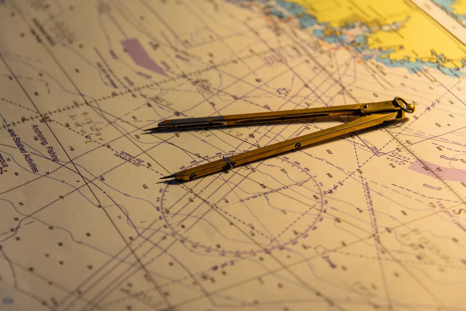
Access official NOAA raster and vector charts with bathymetric contours, hazard markers, and navigation aids. Always up-to-date with automatic updates.
Offline Chart Packs
Download regional chart packs before heading out. Works completely offline, perfect for areas with spotty cell coverage or international waters.
Real-Time Overlays
Layer weather radar, wind patterns, sea temperature, and current data directly on your charts. See conditions at a glance, plan routes smarter.
See It In Action
Interactive chart demo coming soon
What's Coming at General Availability
- •Route Planning & Waypoints: Save routes, mark waypoints, and share them across devices or with crew members.
- •AIS Integration: See nearby vessels in real-time with vessel info and predicted paths.
- •3D Bathymetry Visualization: View underwater terrain in 3D to identify structure and drop-offs.
- •Community Markers: See and share fishing spots, hazards, and points of interest with the community.
Ready to Navigate Smarter?
Join the waitlist to be notified when navigation features go live.